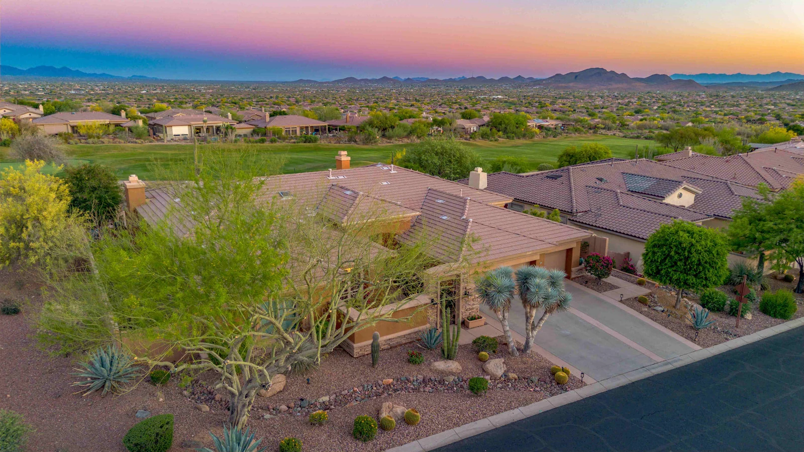
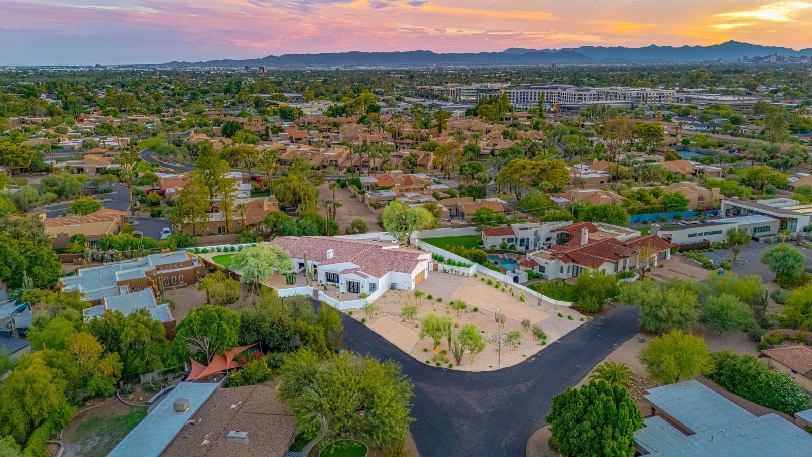
An aerial photo can be the most useful image in a Las Vegas listing. It shows the lot, the pool, the golf course behind the wall and the mountains at the end of the street in one frame. It is also the photo most likely to be cancelled on shoot day, because much of the valley sits in controlled airspace.
This guide covers where that airspace is, what Nevada law adds on top of the federal rules, and what to ask before you promise a seller drone photos. It is general information as of November 2026, not legal advice. Rules change, so confirm anything that matters with the FAA or the agency involved.
Why Las Vegas is harder than most cities
Four airfields shape the valley's airspace:
- Harry Reid International sits in the middle, next to the Strip, inside the busiest class of airspace the FAA designates.
- North Las Vegas Airport has its own controlled airspace over much of the north valley.
- Henderson Executive Airport has controlled airspace over the south end of Henderson.
- Nellis Air Force Base borders North Las Vegas to the northeast.
A licensed commercial pilot can fly in most controlled airspace, but only with FAA authorization first. The City of Las Vegas says the same thing on its FLYSAFE page: Part 107 operators need authorization before operating in controlled airspace, and most requests through the FAA's automated system, called LAANC, come back within seconds.
Two details matter for listings. First, authorization comes with a height ceiling that varies block by block, and near an airport that ceiling can be low or zero. Second, where the automated system does not cover an address, the pilot has to apply to the FAA another way, which takes longer. Either one can turn "drone included" into "no drone at this address."
Neighborhood by neighborhood
Treat this as a starting point. The only real answer comes from checking the specific address.
Summerlin and the west side. Generally the farthest from the airports, so aerials are possible at more addresses, and Red Rock makes them worth taking. Still checked per address.
Henderson. Green Valley and the north end sit closer to Harry Reid. Inspirada, Anthem and Seven Hills are near Henderson Executive. Lake Las Vegas is farther east. Expect a mix: some addresses clear easily, some come with a low ceiling.
North Las Vegas. The municipal airport and Nellis between them put much of the city in controlled airspace. Many addresses can be flown with authorization. Those closest to either airfield may not be.
Central valley, Paradise and anything near the Strip. The most restricted part of the valley. Assume a drone needs extra lead time here, and that some addresses cannot be flown at all.
Southwest: Southern Highlands, Mountains Edge, Rhodes Ranch. Between the Harry Reid and Henderson Executive areas. Usually workable, address by address.
What Nevada law adds
Federal rules govern the airspace. Nevada adds two statutes that agents should know exist.
The 250-foot trespass rule. Under NRS 493.103, a property owner can sue a drone operator who flies lower than 250 feet over their property, but only if the operator has flown over it at least once before and the owner has already given notice that the flight is not authorized. It does not apply while the aircraft is taking off or landing. An owner who wins can recover triple damages plus attorney's fees.
For a listing, the practical point is simple. The shoot is flown over the seller's lot with the seller's permission. A careful pilot keeps the aircraft over the subject property and the street, and does not hover low over the neighbor's yard to get a better angle.
Airports and critical facilities. NRS 493.109 makes it an offense to fly within five miles of an airport without FAA authorization or the airport operator's consent, or within 500 feet horizontally or 250 feet vertically of a critical facility, such as a refinery, without the owner's written consent. This is one more reason the authorization step is not optional in this valley.
City permits, HOAs and heat
- City of Las Vegas film permits. According to the city, a commercial shoot that takes off or lands on city property or the public right-of-way needs a film permit, which is free. Launching from the private property being photographed is the normal approach for a listing. If in doubt, the city's FLYSAFE page lists who to ask.
- HOAs and guard-gated communities. Many have their own rules on drones over common areas. Ask the association before shoot day, the same way you would arrange gate access.
- Summer heat. Many popular drones are rated to about 104°F. In July that means aerials get scheduled early in the morning, or not at all on the hottest days.
What to ask your photographer
- Are you FAA Part 107 licensed, and will the licensed pilot be the one flying?
- Have you checked this address, and what is the height ceiling there?
- If authorization is denied, what do I get, and what do I pay?
- Do you carry liability insurance for drone work?
- Will you launch from the property itself?
A photographer who answers the second question before quoting is one who has done this in controlled airspace before.
Where The Listing Bees stands
We have flown listings under Phoenix Sky Harbor's controlled airspace since 2019, and all of our photographers hold FAA Part 107 licenses. We are preparing to open in Las Vegas and are not booking shoots here yet. When we do, the address check will happen before you book, so you know whether an aerial is possible before you promise one.
Sources
- City of Las Vegas, FLYSAFE drone guidance
- Nevada Legislature, Assembly Bill 239 (2015), the source of NRS 493.103 and 493.109
- Shouse Law Group, summary of Nevada drone laws